File:Sơn La Dam.JPG
Original file (2,592 × 1,728 pixels, file size: 2.31 MB, MIME type: image/jpeg)
This file is from Wikimedia Commons (production) and may be used by other projects. The description on its file description page there is shown below.
Summary
DescriptionSơn La Dam.JPG |
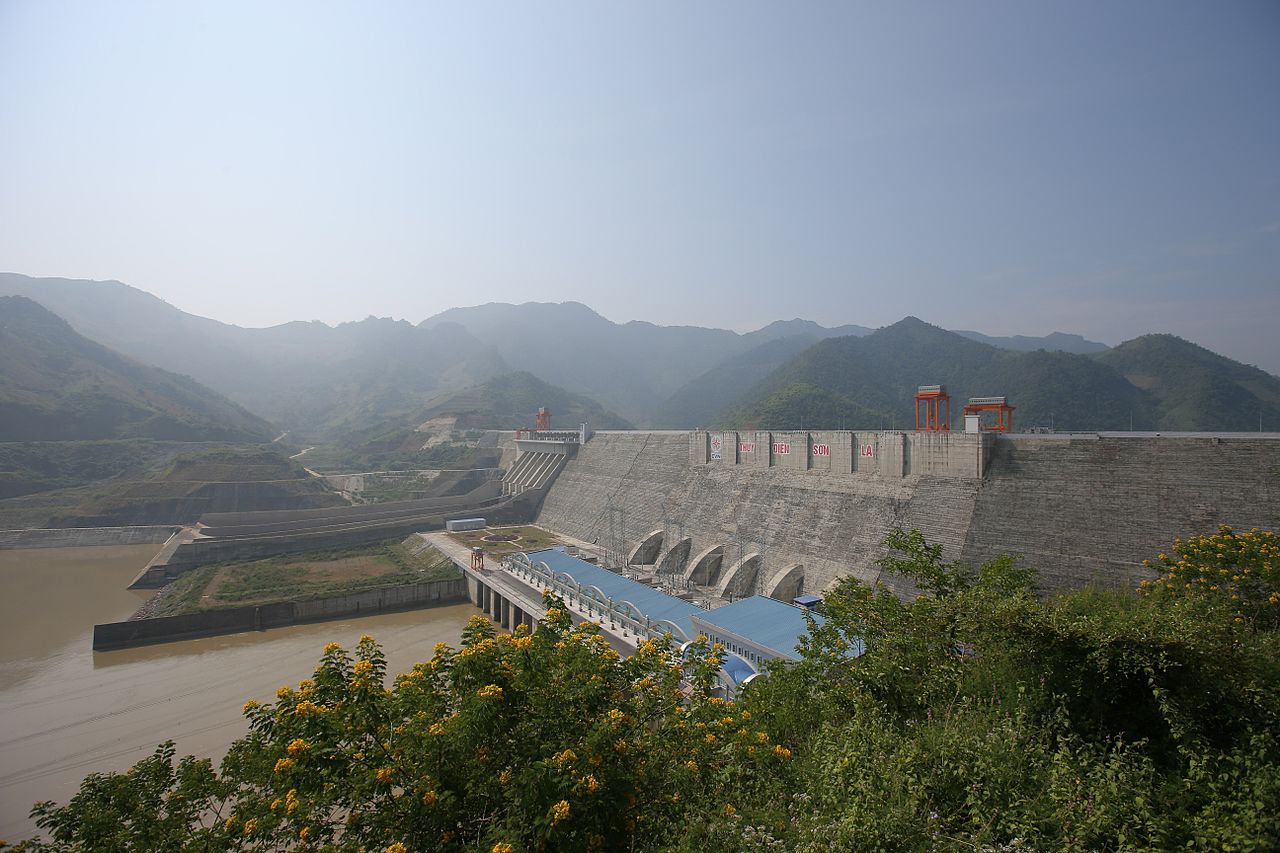
English: Sơn La Dam Русский: Вид на гидроэлектростанцию Шонла, Вьетнам Tiếng Việt: Đập thủy điện Sơn La, tỉnh Sơn La, Việt Nam. |
Date | |
Source | Own work |
Author | [Tycho] talk , http://shansov.net |
Camera location | 21° 30′ 00.19″ N, 103° 59′ 50.89″ E | View this and other nearby images on: OpenStreetMap | 21.500053; 103.997470 |
---|
This image has been assessed under the valued image criteria and is considered the most valued image on Commons within the scope: Son La Dam, hydroelectric plant in Vietnam. You can see its nomination here. |
This image has been assessed using the Quality image guidelines and is considered a Quality image.
العربية ∙ جازايرية ∙ беларуская ∙ беларуская (тарашкевіца) ∙ български ∙ বাংলা ∙ català ∙ čeština ∙ Cymraeg ∙ Deutsch ∙ Schweizer Hochdeutsch ∙ Zazaki ∙ Ελληνικά ∙ English ∙ Esperanto ∙ español ∙ eesti ∙ euskara ∙ فارسی ∙ suomi ∙ français ∙ galego ∙ עברית ∙ हिन्दी ∙ hrvatski ∙ magyar ∙ հայերեն ∙ Bahasa Indonesia ∙ italiano ∙ 日本語 ∙ Jawa ∙ ქართული ∙ 한국어 ∙ kurdî ∙ Lëtzebuergesch ∙ lietuvių ∙ македонски ∙ മലയാളം ∙ मराठी ∙ Bahasa Melayu ∙ Nederlands ∙ Norfuk / Pitkern ∙ polski ∙ português ∙ português do Brasil ∙ rumantsch ∙ română ∙ русский ∙ sicilianu ∙ slovenčina ∙ slovenščina ∙ shqip ∙ српски / srpski ∙ svenska ∙ தமிழ் ∙ తెలుగు ∙ ไทย ∙ Tagalog ∙ toki pona ∙ Türkçe ∙ українська ∙ vèneto ∙ Tiếng Việt ∙ 中文 ∙ 中文(简体) ∙ 中文(繁體) ∙ +/− |
Licensing
- You are free:
- to share – to copy, distribute and transmit the work
- to remix – to adapt the work
- Under the following conditions:
- attribution – You must give appropriate credit, provide a link to the license, and indicate if changes were made. You may do so in any reasonable manner, but not in any way that suggests the licensor endorses you or your use.
- share alike – If you remix, transform, or build upon the material, you must distribute your contributions under the same or compatible license as the original.
Items portrayed in this file
depicts
26 October 2013
21°30'0.19199"N, 103°59'50.89200"E
File history
Click on a date/time to view the file as it appeared at that time.
Date/Time | Thumbnail | Dimensions | User | Comment | |
---|---|---|---|---|---|
current | 21:26, 12 September 2016 | 2,592 × 1,728 (2.31 MB) | wikimediacommons>Shansov.net | File size increased |
File usage
Metadata
This file contains additional information, probably added from the digital camera or scanner used to create or digitize it.
If the file has been modified from its original state, some details may not fully reflect the modified file.
Image title |
|
---|---|
Camera manufacturer | Canon |
Camera model | Canon EOS-1D X |
Author | [Tycho] |
Exposure time | 1/640 sec (0.0015625) |
F-number | f/5.6 |
ISO speed rating | 100 |
Date and time of data generation | 10:01, 26 October 2013 |
Lens focal length | 16 mm |
Latitude | 21° 30′ 0.19″ N |
Longitude | 103° 59′ 50.89″ E |
Altitude | 232.9 meters above sea level |
Copyright holder | |
Orientation | 0 |
Horizontal resolution | 72 dpi |
Vertical resolution | 72 dpi |
Software used | Picasa 3.0 |
File change date and time | 10:01, 26 October 2013 |
Y and C positioning | Centered |
Exposure Program | Aperture priority |
Exif version | 2.3 |
Date and time of digitizing | 10:01, 26 October 2013 |
Meaning of each component |
|
Shutter speed | 9.3750393948944 |
APEX aperture | 5.0219238147438 |
Exposure bias | 0 |
Metering mode | Pattern |
Flash | Flash did not fire |
DateTime subseconds | 39 |
DateTimeOriginal subseconds | 39 |
DateTimeDigitized subseconds | 39 |
Supported Flashpix version | 1 |
Color space | Uncalibrated |
Focal plane X resolution | 3,545.8276333789 |
Focal plane Y resolution | 3,526.5306122449 |
Focal plane resolution unit | inches |
Custom image processing | Normal process |
Exposure mode | Auto exposure |
White balance | Auto white balance |
Scene capture type | Standard |
Unique image ID | 819dd5d283412dc822a80d2d2c3ce998 |
GPS time (atomic clock) | 10:01 |
GPS date | 26 October 2013 |
GPS tag version | 2.2.0.0 |
Supported Flashpix version | 1 |
Geodetic survey data used | WGS-84 |
Image width | 1,920 px |
Image height | 1,280 px |
Compression scheme | JPEG (old) |
Contact information |
|
Keywords |
|
Code for country shown | VNM |
Country shown | Vietnam |
Province or state shown | Sơn La |
IIM version | 4 |